
White Lake Township Previous Residents by Era
A house history needs an era map because no one source follows every address from settlement to the present. Start with the current parcel, then select the record type that can answer the next date question. Recorded land instruments are the clearest ownership trail. Newspapers, telephone volumes, and census schedules can identify a household layer. Maps and permit records can date the building itself. Each source has limits, and the White Lake trail becomes more reliable as those limits are written down.
| Source | Years it covers | Where held | What it can show |
|---|---|---|---|
| Oakland Super Index land documents | From January 1, 1964, except subdivision plats | Oakland County Register of Deeds | Grantors, grantees, instrument dates, legal descriptions, and earlier references |
| White Lake Clerk imaging | Documents and forms began imaging in 2013 | White Lake Township Clerk | Modern municipal record route; earlier material may require an office or archive request |
| Milford Times archive | About 1878-1978 | White Lake Historical Society | Names, notices, obituaries, land and community references |
| Michigan telephone directories | Generally about 1939-1980s outside major cities | Detroit Public Library Burton Collection | Address-to-name clues that require confirmation |
| Federal census schedules | Public releases through 1950 | National Archives access and library tools | Household snapshots; not a yearly record |
For a postwar White Lake house, the land index may be the first usable online anchor. For an older property, move to the Register counter, archive, library guide, newspaper archive, and historic maps rather than assuming a missing web image means the record is gone.
Preserve the White Lake Township PIN
Before tracing past residents, save the address exactly as it appears in Oakland County Property Gateway, along with the parcel identification number, legal description, ZIP or city label, and any map detail. The portal accepts a PIN or property address, partial strings, wildcard patterns, and map clicks. Its public landing screen is parcel and address based, not an owner-name directory. That makes the address and PIN the cleanest starting keys.
Keep the situs address separate from the mailing address. Situs means the physical parcel location used for mapping and assessment. A mailing address is where tax correspondence goes, which may be outside White Lake Township or shared across parcels. It can help locate a record, but it does not prove that the owner lived at the site. The White Lake Assessor is the route for owner-name inquiries and older tax-roll questions not displayed on the public search screen.
A White Lake parcel can also be known through a subdivision name, lot and block, section-township-range wording, lake frontage, or an easement description. Copy those words before moving backward. Old deeds may not use a modern street number at all.
White Lake Township’s 1964 Record Boundary
Oakland County’s Register of Deeds property and land service says its public Super Index provides copies of recorded documents from January 1, 1964, except subdivision plat maps. This is a useful dividing line, not the beginning of ownership. A post-1964 deed may point to an earlier instrument. If the chain reaches an older deed, ask about deed books, office terminals, microfilm, or archived volumes.
The comparison is important for past-resident research. The online index may quickly lead from today’s parcel to a postwar transfer, while the older section may depend on a counter request and the Library of Michigan Oakland County guide. That guide identifies First Land Owners of Oakland County, an 1857 map, a 1908 atlas, a 1930 plat book, early marriages, naturalization records, and probate abstracts. None replaces the missing deed, but each can help identify an earlier party or place.
Note: Record the source and date for every ownership step, since an online coverage boundary is not a claim about when the parcel first existed.
Trace White Lake Township Deed Records
For a deed chain, start with the current parcel record and use the legal description to find the vesting instrument. The Register’s grantor-grantee index is a party trail. A grantor transfers an interest; a grantee receives it. Read the recording date, document number, party names, legal description, and prior-instrument reference. Execution and recording can occur on different days, so use the recorded date to place the public instrument in sequence.
- Find the current White Lake parcel through Property Gateway and copy its PIN and legal description.
- Locate the instrument that put the current owner in title through the Register of Deeds index or counter.
- Read the seller, who is the grantor on that deed, and search that person or entity as a prior grantee.
- Repeat the process backward, preserving name variants, document numbers, lot information, and each link to an earlier instrument.
- When the chain passes the Super Index boundary, take the documented parcel trail to the Register, archive, or library route for older books or film.
- Grantor and grantee
- The grantor is the party transferring an interest. The grantee is the party receiving it.
- Chain of title
- The ordered sequence of recorded transfers tied to the same parcel or legal description.
- Legal description
- The formal parcel wording, such as a lot and block or section-and-range description, that can remain useful when street labels change.
A trust, estate, corporation, multiple owners, split, or parcel combination can make the chain branch. Document the branch rather than forcing a single line. A title connection is evidence of legal ownership, not a guarantee that the owner occupied the address.
Read White Lake Township Legal Descriptions
Plats and lot-split materials give White Lake past-resident research a needed bridge between street labels and land records. A recorded plat can turn an address into a subdivision, lot, and block. A metes-and-bounds parcel may require section, township, range, bearings, or lakefront wording. White Lake’s water-shaped geography makes that distinction more than technical: the township has 21 lakes, and lake, association, subdivision, and postal labels may not match the legal township boundary.
Use Oakland County GIS layers to compare the PIN with municipal, ZIP, tax-district, school-district, and precinct layers. The official site-address layer marks an approximate center point and can have multiple PINs or addresses at one point. It is a parcel-reference tool, not a household census. When a historical address seems to vanish, check the legal description, neighboring parcels, and former labels before deciding that the trail ended.
Layer White Lake Township Past Households
Deeds identify parties to transfers. They do not always identify everyone who lived at the property. For the household layer, pair directory-like evidence with census releases, newspapers, cemetery material, obituaries, and probate. No verified standalone White Lake city-directory run was located, so a Pontiac directory or regional telephone book is a proxy that needs an entry-level township and address check. The collection details belong with the White Lake Township city directory sources.
Use a simple time flow: dated directory or telephone entry to the closest census release, then newspaper and land evidence. Federal census schedules are publicly released through 1950 under the 72-year rule. Oakland’s 1845 state-census material and Historical Society population series can add context, but a census line remains a snapshot. An obituary may identify a spouse, parent, cemetery, and surviving relatives. Probate can connect an estate to heirs and an address, but each name should be checked against the deed and newspaper trail.
When a person disappears from one address, compare the last relevant deed, a dated notice, obituary or probate file, and the next property record. Do not assume a move to a nearby house from a surname match alone.
White Lake Township Offline Research
White Lake Township Clerk documents and forms began imaging in 2013. That is a practical web-search marker, not an end date for earlier local records. Ask the Clerk for the record series and date range, then make a written request under Michigan FOIA, MCL 15.231 et seq., when the item is not posted. The usual response period is five business days, with one permitted ten-business-day extension. Keep the request narrow, such as an address, parcel, record type, and date range.
The local library offers catalog access, MeL, in-building Ancestry Library Edition, and Reference help. The Historical Society offers archives by appointment and has local newspapers, photographs, historic-home material, township history, and cemetery leads. No official local house-history worksheet or published fee-based house-research service was found. A useful inquiry names the address, subdivision, PIN, likely years, and the specific record question.
The Library of Michigan Oakland County guide gathers the broader archive leads for an address trail.
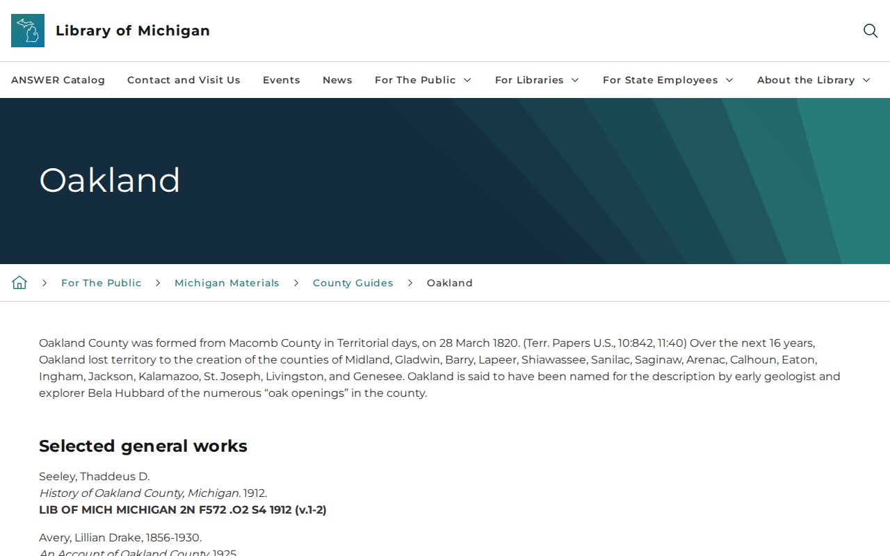
The county-guide image points to historical books, newspapers, maps, naturalization, marriage, probate, and census sources that can fill a dated gap in the land trail. It does not certify a particular White Lake household by itself.
Date White Lake Township Homes Carefully
Maps and aerials can date the structure while leaving the people question to other records. Michigan Digital Sanborn Maps cover statewide material from 1867 to 1970 through Library of Michigan onsite access, and the Library of Congress has a confirmed Pontiac set from February 1919. Neither source proves White Lake coverage. Do not apply a Pontiac map to a White Lake property unless the address is actually on the sheet.
Oakland basemap services identify historic aerial years including 1940, 1949, 1963, 1974, 1980, 1990, 1997, 2000, 2002, 2006, 2010, 2012, 2014, 2015, 2017, 2020, 2023, and 2025. Those images can show when a structure or addition appears or changes. They cannot establish who lived there. A permit, dated assessment, directory clue, or newspaper notice may supply the separate household evidence.
Use White Lake Township Past Records Safely
House history and family history work best when the record question stays narrow: who held title, when a structure appeared, or whether a dated household clue matches the parcel. Public records can be incomplete, outdated, or tied to someone who no longer lives at an address. Michigan’s Address Confidentiality Program protects qualifying participants through a substitute address and mail forwarding arrangement, and protected voter-file applications are not public request material.
Lawful use. Use White Lake previous-resident records for family history, estate research, property history, and personal curiosity. Do not use a record trail to stalk, harass, threaten, or track a living person.
If a record appears wrong, contact the custodian that created it. For a land-document concern, use the Register of Deeds route. For a township file, use the Clerk or its FOIA contact. Direct requests to the record holder preserve the original context and avoid spreading a mistaken address or identity claim.