
White Lake Township ZIP Areas
Five ZIP areas serve or intersect White Lake Township: 48327, 48350, 48382, 48383, and 48386. This White Lake Township ZIP code directory treats them as a coverage guide, not as five separate municipal boundaries. A ZIP can carry the name of a nearby postal community and still include an edge parcel in the township. Check the specific parcel in Oakland GIS and then use USPS for the delivery label. The table records the labels found in official GIS and postal research, rather than assigning an entire ZIP to one government jurisdiction.
| ZIP | Area encountered in official review | Postal label context | Parcel-check note |
|---|---|---|---|
| 48327 | Southeast and east township edge | Waterford-labeled addresses can intersect White Lake. | Confirm delivery city and municipal boundary for the specific site. |
| 48350 | Northern and northwestern edge | Davisburg-area addresses can reach the township. | Verify street location and parcel geometry. |
| 48382 | Eastern and northeastern edge | Commerce Township labels can appear in the address layer. | Use the parcel boundary, not the city label alone. |
| 48383 | Principal White Lake postal area | White Lake postal label. | Check USPS and county GIS for the exact address. |
| 48386 | Common township-area ZIP | White Lake postal label and local-library area. | A matching label can still extend beyond the township line. |
The postal-area view is strongest as a first sort. Once an address has been narrowed, the municipal polygon, parcel PIN, and legal description answer the question of where that site actually lies.
White Lake Township ZIP GIS
Oakland County’s official ZIP Code Area layer has a five-character ZIP field, data source, revision date, polygon geometry, and shape measurements. It supports query and statistics functions. That makes it useful for viewing the outline of a postal area beside municipal, precinct, school, and tax layers. The county’s site-address layer is a separate source with a city field and a ZIP field, so it can be queried for address data without turning a postal field into a township boundary.
The ZIP polygon is a records-geography tool, not a delivery guarantee. It shows why a postal-area search has to distinguish between the edge of a postal area and the edge of a legal township. For one address, compare the ZIP polygon to the municipal boundary and parcel geometry. Then use the address record to continue with property or deed research.
Review the Oakland County ZIP GIS layer to see the official field and query surface used for White Lake Township geography.
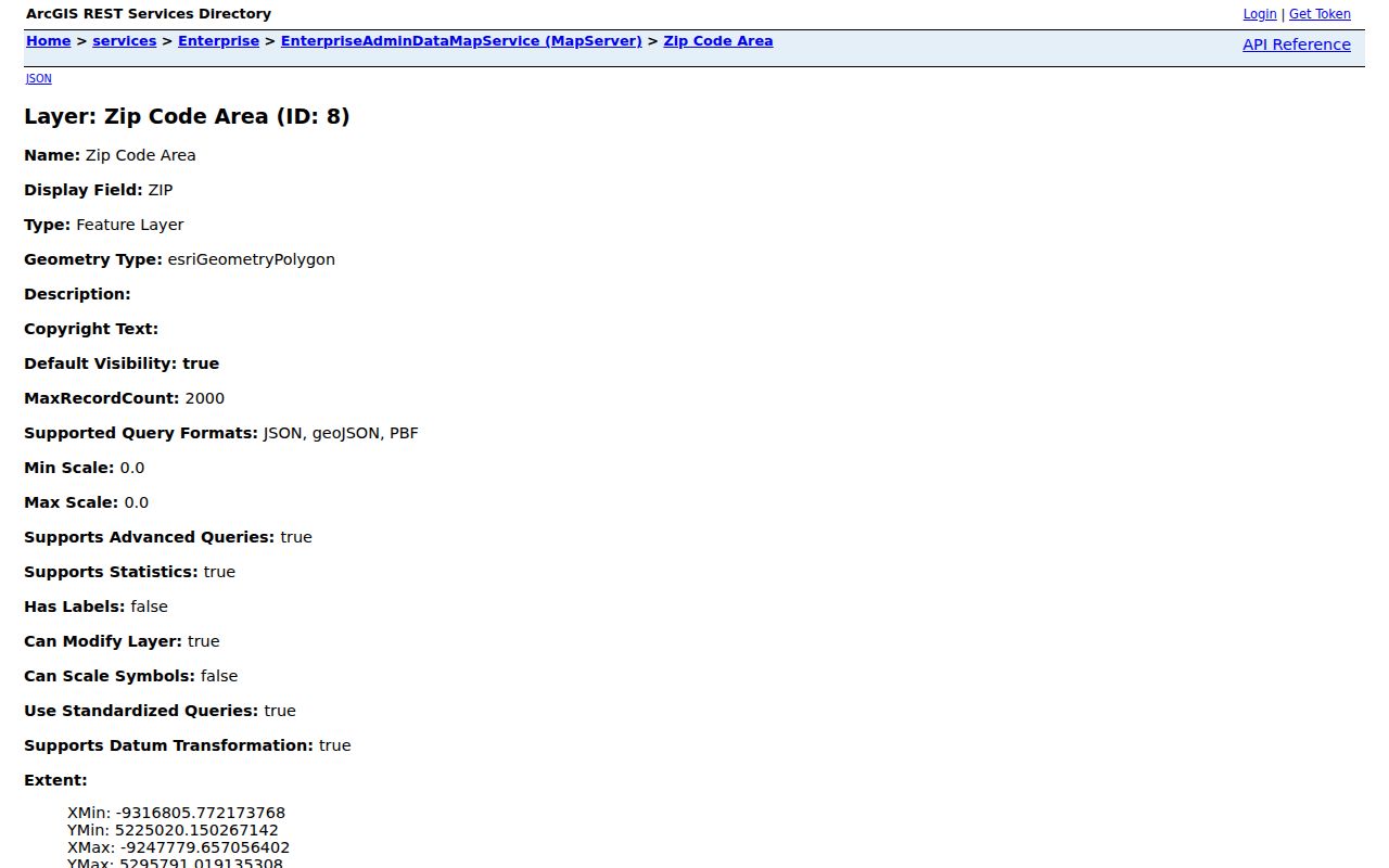
The layer captures postal-area geometry, while the parcel and municipal layers supply the location context that the ZIP alone cannot provide.
White Lake Township ZIP Delivery
The official USPS ZIP Code Lookup provides three useful checks. By Address asks for a required street address, city, and state, with company, apartment or suite, and ZIP as optional fields. By City and State returns ZIP information for a place, while Cities by ZIP begins with the five-digit code. USPS says a result does not confirm an actual person or business. Multiple matches call for a narrower address, and USPS does not guarantee that a business is at a location.
That limited role makes USPS a good delivery verifier and a poor substitute for White Lake Township property research. Use it after the county map has identified the parcel context, especially for an address carrying a Waterford, Davisburg, or Commerce Township label. Keep the delivery wording and legal location as separate notes.
Use the official USPS ZIP Code Lookup when checking the delivery city or a ZIP returned for a complete White Lake Township address.
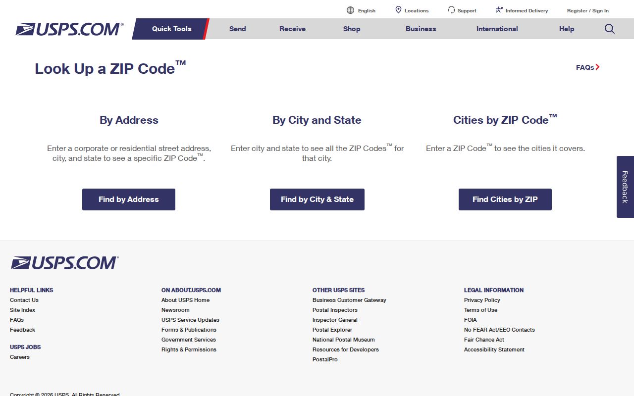
The three USPS modes verify postal information, but a parcel record remains necessary for a property or township conclusion.
Search White Lake Township ZIPs
A ZIP-based search works best as a controlled narrowing process. Property Gateway has no dedicated ZIP filter on its public landing screen, so it is not the place to ask for a ZIP-wide owner list. Instead, its address and PIN search identifies individual parcels, while Oakland GIS can query the site-address ZIP field and ZIP-area polygons. Michigan’s voter-file request can be scoped by jurisdiction, county, or precinct, but an exact individual-lookup ZIP field was not verified because the Michigan Voter Information Center returned a 403 during automated inspection.
- Use USPS to verify the full delivery address or determine the ZIP for a known address. Keep the returned city label as postal information.
- Query the Oakland ZIP polygon and site-address data to compare the ZIP with the municipal boundary and parcel location.
- Open the parcel in Property Gateway by address or PIN. Record the site address, PIN, legal description, and any mailing-address distinction.
- For a documented voter-file need, scope the request to the appropriate jurisdiction, county, or precinct and follow the state form’s delivery rules.
- When a ZIP search narrows to one road, use the White Lake Township street directory for the address-by-address records chain.
ZIP code results should be kept separate from registrant, owner, or map data. Each record answers a smaller question, and combining them without that distinction produces false matches.
White Lake Township ZIP Fields
The available search fields show the contrast between postal confirmation and geographic research. The county service exposes ZIP in its GIS data model, while USPS collects the fields needed to check delivery. Property Gateway accepts an address or PIN, not a stand-alone ZIP on its public start screen. These details keep a postal search tied to the correct tool.
| Interface | ZIP-related field | Input or data role | What it supports |
|---|---|---|---|
| USPS By Address | ZIP, optional | Street address, city, and state are required. | Delivery ZIP and postal-city confirmation. |
| USPS Cities by ZIP | ZIP, required | Five-digit ZIP input. | Postal city information. |
| Oakland site-address layer | SITEZIPCODE / ZIP | Queryable address-data field. | Address points and ZIP filtering. |
| Oakland ZIP area layer | Five-character ZIP | Polygon query and statistics field. | Postal-area geometry and map context. |
| Property Gateway | No dedicated ZIP field shown | Address, partial address, PIN, or map click. | Individual parcel research. |
The GIS field is a convenience for a map query. It does not supersede the USPS delivery response or the parcel’s municipal geography.
White Lake Township ZIP Layers
White Lake Township has several location labels that can be true at the same time. A parcel has a situs, a legal description, a postal ZIP, and often an owner mailing address. It also falls within a municipal boundary and may have different school, precinct, tax-district, or lake-association context. The county GIS makes those layers visible together, which is more useful than assuming one line on an envelope settles every question.
| Location layer | What it identifies | What it cannot establish |
|---|---|---|
| ZIP or postal city | Delivery sorting and a mailing label. | Township incorporation, precinct, school district, or occupancy. |
| Parcel situs and PIN | Physical tax parcel and mapping reference. | Every person associated with the address. |
| Municipal boundary | Government jurisdiction for the land area. | USPS delivery city or a person’s mailing preference. |
| Owner mailing address | Where tax correspondence is sent when shown. | Who lives at the physical parcel. |
This comparison is especially important around the township’s lake and boundary areas. A correct ZIP code can still point to the wrong conclusion if the parcel layer is skipped.
White Lake Township ZIP Boundaries
ZIP boundaries and White Lake Township city limits do not match because White Lake is a township, not a postal city boundary. A 48382 mailing label may say Commerce Township while the legal situs is White Lake. At other edges, a 48327 Waterford label or a 48350 Davisburg label can appear near township geography. Confirm the municipal boundary and parcel PIN through Oakland GIS, then check USPS for the intended mailing label. Neither result should be used as proof that a person lives at the address.
- ZIP versus ZIP+4
- The five-digit ZIP sorts a broad delivery area. ZIP+4 adds a more specific delivery segment and does not redraw a township boundary.
- PO-box ZIP
- A ZIP used for post-office boxes can differ from the ZIP used for street delivery to a physical parcel.
- Unique ZIP
- A ZIP assigned for a particular organization or delivery purpose. No unique White Lake ZIP was established in the reviewed sources.
- Carrier route
- A postal delivery grouping used for mail operations. It is not a government boundary or resident roster.
Note: A ZIP label is a delivery clue, so confirm both the county parcel and municipal layer before relying on it in White Lake Township research.
White Lake Township ZIP History
No dated White Lake ZIP split or realignment was found in the official material reviewed. No official per-ZIP registration or population table was located either. That absence matters: do not create a local ZIP chronology from a change in a postal label, a directory listing, or a current map. For historical work, preserve the old route or street notation, postal city, township name, subdivision, lot and block, section-township-range, PIN, and recording date as separate search terms.
Oakland’s site-address model itself reflects the need for that care. Its city field is separate from ZIP, and an address point is an approximate center rather than the full tax-parcel polygon. A historic newspaper or deed may use a different version of the place name. The legal description and PIN create the bridge when the postal wording changes.
White Lake Township ZIP Limits
This White Lake Township postal reference narrows a place, not a person. USPS warns that its lookup does not confirm a person or business at an address. County GIS points and parcel records describe land and address fields. Owner records can contain a mailing address that is not the situs, and voter records are limited to registrants with required redactions. A ZIP-wide match should never be stated as a complete household list or proof of current occupancy.
For records not posted online, the fallback chain is the appropriate township office, the Oakland County custodian, or a written request under the Michigan Freedom of Information Act, MCL 15.231 et seq. Michigan FOIA normally provides five business days for a response, with one ten-business-day extension allowed. Protected Address Confidentiality Program material is not public voter-file material. Confirm any important fact with the record holder.